
Across the United States, transportation agencies are responsible for millions of miles of public roadways. Maintaining these networks is expensive, and a substantial portion of the maintenance budget is allocated to gathering condition survey data. Traditional roadway inspection methods rely heavily on manual fieldwork by trained crews and specialized vehicles. These methods are labor-intensive, costly, and slow. Also, it can require traffic disruptions due to lane closures and work zones that cause delays for both inspectors and the traveling public. In fact, experts have found that semi-automated methods with special sensor vehicles can cost between $500 and $900 per mile in the U.S. At the same time, manual techniques can become even more resource-intensive when considering both time and personnel.
As transportation networks expand and age, agencies must cover more ground with limited budgets. As a result, many DOTs can only inspect a fraction of their assets at any given time. This leads to outdated or incomplete condition data that puts long-term planning and maintenance priorities at risk. Minor issues can go unnoticed until they become significant (and costly) problems.
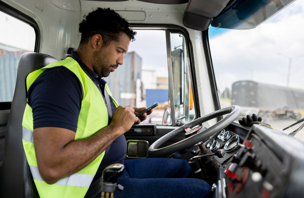
At the same time, most roads see thousands of vehicles every day. Cars are traveling every mile of roadway and essentially acting as living sensors. Many of them are already equipped with cameras and basic telemetry for safety or compliance purposes. This creates an opportunity to rethink how condition data is collected. Instead of sending crews out at fixed intervals, agencies can tap into data from these vehicles to create a mobile sensor network.
The Limits of Manual Roadway Inspection Methods
Manual inspections have been the backbone of infrastructure assessments for decades, but they come with clear drawbacks.
One major limitation is cost. A single manual or semi-automated survey vehicle with advanced sensors can easily cost hundreds of thousands of dollars to acquire and operate. That is before considering the labor and logistical planning required by deploying crews statewide or across large metropolitan areas.
There are hidden operational costs. Inspections that require lane closures or traffic detours can slow down travel, increase congestion, and even risk public safety. Planning around traffic patterns to minimize disruption adds complexity and cost at every level.
Manual field inspections also take time. A full survey of a large roadway network can span weeks or months. By the time the data is processed, conditions may have changed. Agencies tend to schedule these surveys intermittently because of costs. Meaning, the decision-makers are working from periodic and potentially outdated snapshots when allocating budgets and determining priorities.
Finally, safety concerns for inspection crews cannot be underestimated. Walking on pavements, bridge supports, or roadside areas puts workers close to moving traffic and other hazards. Especially in high-traffic areas like urban corridors, the risks for potential worker injuries and the resulting costs can become significant. As the volume and variety of infrastructure demands grow, these factors can make traditional inspection models increasingly unsustainable.
A New Approach: Mobile Sensor Networks
The idea of a mobile sensor network builds on technologies that are already common and prevalent in transportation. Vehicles increasingly have cameras, GPS, and telematics systems that monitor everything from speed and location to driver behavior and mechanical performance. Often used for commercial fleet management, the value of this data can expand much further. In fact, in a mobile sensor network, the vehicles that drive the roadways become data collection platforms.
This approach has the potential to dramatically expand roadway coverage. Rather than a small team surveying a set route once or twice a year, thousands of vehicles collectively cover the entire network every day. Every trip in one of these vehicles becomes a potential source of condition data on pavement, signage, lane markings, and environmental factors. Agencies, in turn, can receive a real-time picture of roadway conditions without deploying any personnel or specialized devices.
The potential cost savings are significant. By leveraging data that already exists on agency fleet vehicles and other partner vehicles, agencies reduce the labor and equipment overhead they would have to plan for traditional roadway inspection methods. Instead, operational activity by independent vehicles turns into actionable data collection on an ongoing basis.
Mobile sensor networks also deliver higher frequency data. Instead of waiting for a scheduled inspection, a network can flag emerging issues as they appear on multiple drives. This continuous stream can lead to quicker response times as well as better prioritization of tasks and projects.

Overcoming Practical Barriers
Of course, for the roadway inspection methods, deploying mobile sensor networks is not a plug-and-play solution. Even with a solid foundation for data collection, agencies have to integrate the new data they’re gathering into their operations and decision-making processes. That means standardizing data formats, ensuring data quality, and aligning outputs with existing asset management systems.
Data governance and privacy considerations are also important for roadway inspection methods. Any data collection and sharing has to comply with actionable regulations and respect individual privacy. The U.S. Department of Transportation’s privacy policy serves as a solid starting point and guide for state and local agencies. Anonymizing data and limiting the granularity of location information to protect identities may be necessary, but should not prevent useful insights into road conditions.
Another practical step consists of building partnerships. Mobile sensor networks work best when they draw from a wide range of vehicle types, including not only public fleets and transit vehicles but also partners in the private sector. Agreements and operational frameworks around data sharing, access, and use become essential in these partnerships.
Finally, for mobile sensor networks to become effective, a reframing of how inspection data is defined becomes necessary. Instead of viewing its gathering as a periodic and semi-regular compliance task, it needs to become part of a continuous performance management cycle.
Moving Into 2026 With Better Roadway Inspections
In the past few years, as alternatives have become more viable for roadway inspection methods, the limitations of traditional manual roadway inspection methods have become increasingly clear. A mobile sensor network built around vehicles already operating on the road offers an alternative that scales with daily activity, expands coverage, and reduces labor and equipment costs.
For transportation agencies facing growing workloads and tight budgets, this approach can offer a natural way to achieve better visibility with fewer resources. By embracing these roadway inspection methods, transportation agency leaders can make more informed decisions, allocate budgets more effectively, and improve these conditions without adding disproportionate inspection costs.