Meet the 2026 FHWA Retroreflectivity Deadline Without Buying a Single Sensor
Establish a federally compliant, digital audit trail for your entire pavement marking inventory without putting manual crews in live traffic or hiring expensive specialty fleets.
The Compliance Reality
The Mandate is Set. The Old Tools Are Broken.
Federal mandates now require a documented "maintenance method" to ensure road safety; Blyncsy provides the automated audit trail you need to satisfy auditors and protect your agency from liability.
Budgets are flat and maintenance crews are short-staffed. But the September 6, 2026, FHWA mandate for pavement marking retroreflectivity is not moving. Agencies must implement a formal maintenance method for all longitudinal markings on roadways rated 35 MPH or greater.
To meet this standard, many DOTs default to hiring specialized Mobile Retroreflectometer Units (MRUs).
But retro vans have a massive operational flaw: they only scan the specific line they are driving over. To map a standard four-lane highway, an MRU has to drive that exact same stretch of road four separate times. Because vendors charge up to $28.50 per line-mile, your costs multiply instantly with every additional lane.
This method ties up slow-moving survey vehicles in active traffic lanes, drains maintenance budgets, and takes months to deliver a simple snapshot in time.
Primary Corridors
> 35 mph
Mandatory Standard of 50 mcd/m²/lx or greater
High-speed arterials
> 70 mph
Recommended Guidance of 100 mcd/m²/lx or greater
The "old" way vs the "Blyncsy" way
Capture the Whole Road, Not Just One Lane.
Blyncsy collects safety data differently. Using computer vision and a network of over one million dashcams already traveling your roads, our system sees the entire roadway in a single view.
Instead of driving back and forth to scan individual lines, Blyncsy captures the center lines, edge lines, and skip lines across all lanes simultaneously.
Zero Specialized Hardware: No purchasing sensors or outfitting fleet vehicles.
Zero Boots on the Ground: Keep your public works personnel out of the right-of-way and safe from distracted drivers.
Continuous Compliance: Move beyond a one-time snapshot. Get a living, objective map of your entire network that updates as conditions change.
Trusted by the Largest Agencies in the Country
Our AI provides precision comparable to high-end mobile LiDAR, but without the manual data extraction burden. [Insert DOT Name] used Blyncsy to map [Insert Metric] miles of their network, entirely bypassing the need for manual retro vans. They secured a documented digital audit trail to satisfy federal scrutiny while keeping their internal crews focused strictly on making physical repairs.
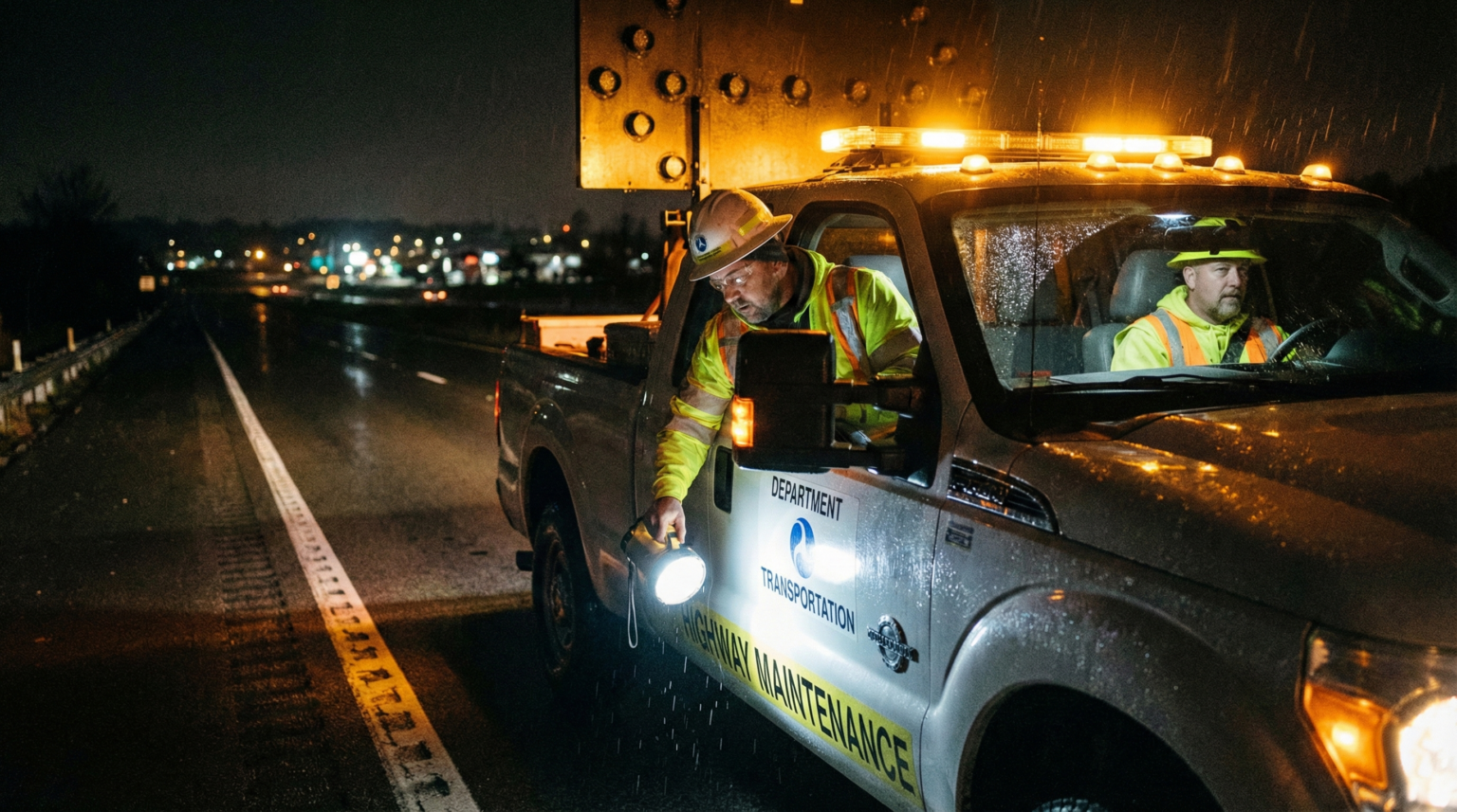
Manual Visual Inspections
Subjective, requires dangerous nighttime overtime labor, and provides no documented audit trail.
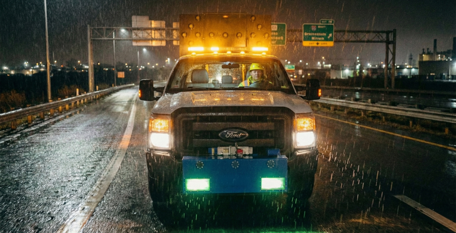
Mobile Retroreflectivity Units
Specialized fleets cost on average $28.50 per line mile in recent state contracts—and only provide a single snapshot in time.
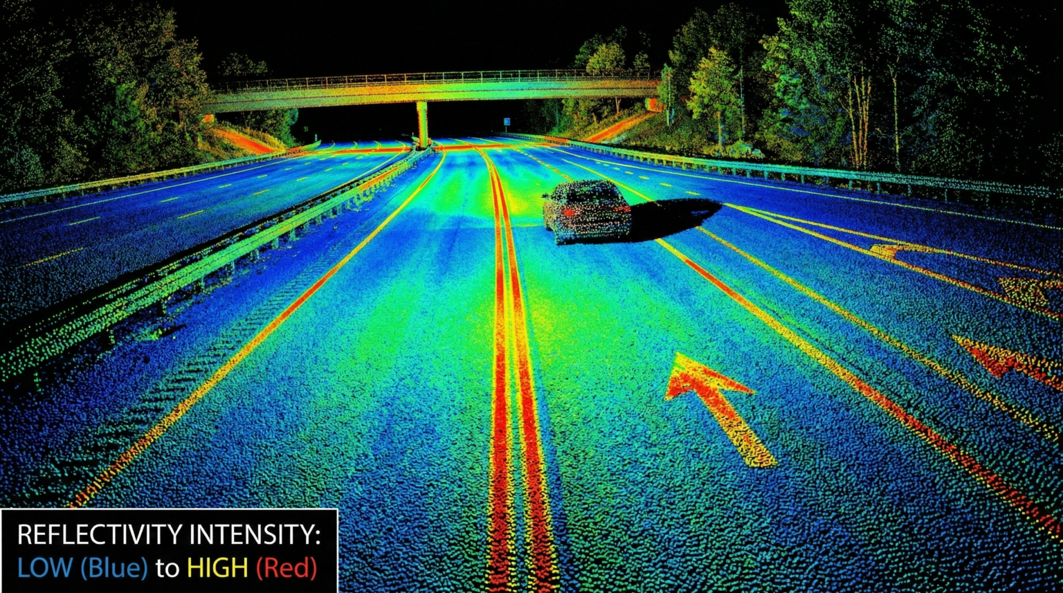
LiDAR Extraction
High-end mobile LiDAR can cost $3,800 per mile, with 50% of the cost dedicated to labor-intensive data extraction.
Learn more about Blyncsy
New Regulatory Codification
US DOT Formally Recognizes Computer Vision as an Eligible Maintenance Method
The US Department of Transportation has officially recognized the safety and operational benefits of computer vision—a specialized field of AI—confirming it as a valid technology for meeting FHWA retroreflectivity safety standards.
Official Committee Direction on Artificial Intelligence:
The US Department of Transportation recently codified the role of Artificial Intelligence in infrastructure health. The Committee recognizes the safety and operational benefits of computer vision in assisting infrastructure owners and operators to assess roadway conditions and damage to roadway assets—including missing signage, pavement damage, and other infrastructure concerns—without requiring human inspectors to enter dangerous or inaccessible areas. Furthermore, the Committee recognizes the critical importance of maintaining pavement marking and retroreflectivity for roadway safety.
What This Federal Recognition Means for Your DOT
- Official Technology Eligibility: Computer vision is now explicitly designated as an eligible technology for inspecting roadways and traffic control devices, removing the "bureaucratic barrier" to using AI for FHWA compliance.
- Priority on Personnel Safety: Federal guidance now emphasizes using AI and computer vision to assess roadway conditions specifically to prevent human inspectors from entering high-risk areas or active traffic lanes.
- Direct Support for 2026 Goals: The US DOT believes it is critical that non-federal stakeholders are informed of the eligibility of these computer vision technologies to ensure the 2026 pavement marking retroreflectivity standards are met efficiently.
- Proactive Posture: This codification represents a shift from reactive, manual fieldwork to a proactive and predictive posture across all core mission areas of roadway maintenance.
How it works
From Raw Imagery to Actionable Intelligence in 60 Seconds
Turn every vehicle on your road into a high-precision sensor, shifting your department from reactive patrols to a proactive, data-driven maintenance posture.
1
Passive Collection
Utilize 1,200,000+ dashcams already on the move
2
AI Analysis
Algorithms detect paint degradation and predict values with accuracy comparable to LiDAR
3
Actionable Delivery
Generate work orders from a real-time "Pass/Fail" map
Automated compliance in action
Hawaii Department of Transportation
The Hawaii Department of Transportation (HDOT) now utilizes Blyncsy to conduct an automated annual paint line retroreflectivity analysis across its entire state roadway network. By transitioning to AI-powered monitoring, HDOT satisfies the 2026 FHWA compliance requirements while significantly increasing departmental efficiency and maximizing maintenance budgets.
100% Compliance Achieved
HDOT uses Blyncsy for annual automated inspections of all state roads rated 35 MPH or greater to satisfy the new FHWA mandate.
$940,000 Annual Savings
95% Reduction in Field Risk
98% Faster Data Delivery
Carbon Footprint Reduction
Democratized Data at Scale
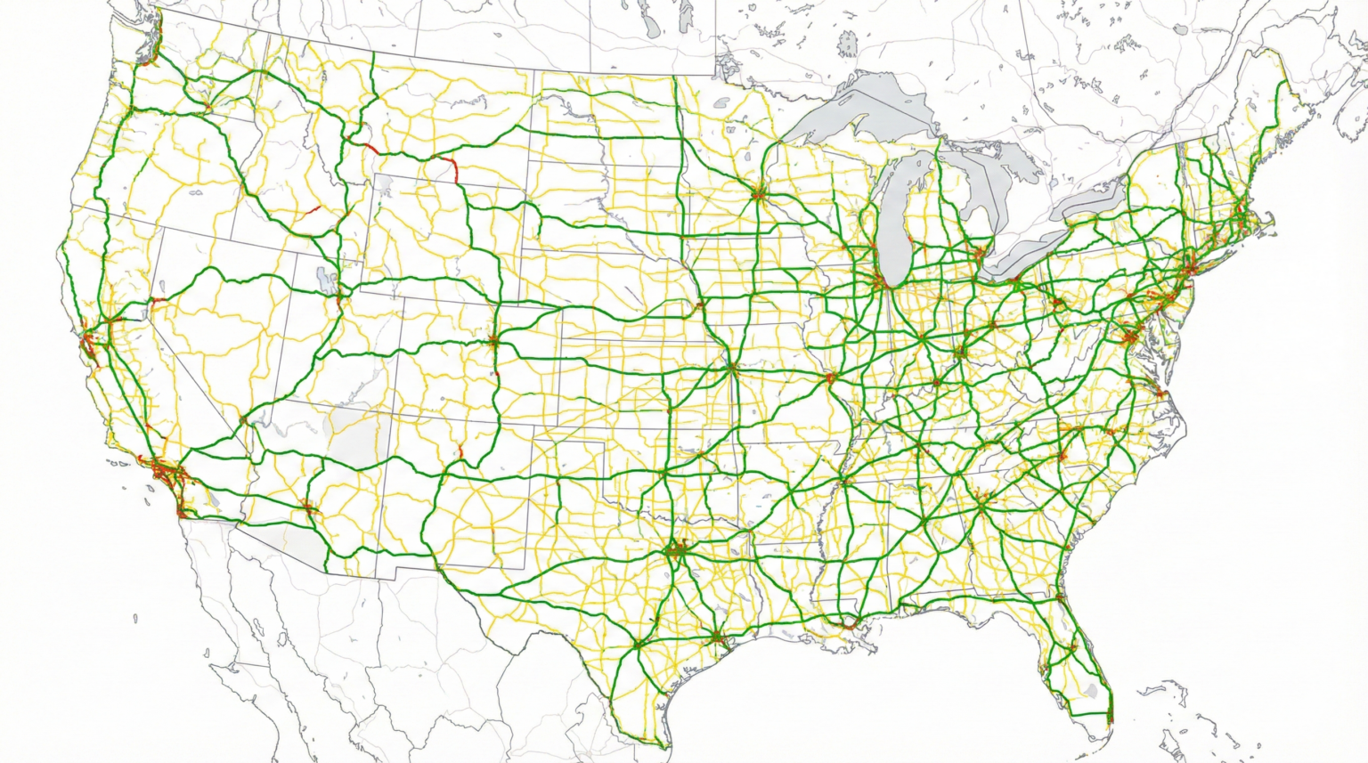
The First-Ever 35+ MPH Nationwide Compliance Map
Blyncsy has already collected and analyzed thousands of miles of the United States road network subject to the new federal regulations. This interactive map demonstrates the unmatched speed of our AI-driven solution—allowing state and local agencies to benchmark their own roadway data against our real-time network assessments.
Unmatched Collection Speed
Our AI-powered network captured over 3,200 centerline miles of paint retroreflectivity detections across all 50 state capitals in just four days—a feat that would take traditional crews months of manual fieldwork.
Direct Agency Benchmarking
Use the map to examine your own roads. We invite agencies to compare our crowdsourced pass/fail analysis with their internal records to see the precision and reliability of AI-driven monitoring.
Intuitive Pass/Fail Analysis
Every road segment is color-coded based on the new FHWA minimum standards. One glance gives you a network-wide view of where your infrastructure stands today relative to the 2026 deadline.
The "Ground Truth" Audit Trail
Transparency is built-in. Users can click any data point on the map to view the high-resolution dashcam image that triggered the pass/fail score, providing instant verification of roadway conditions.
Scroll and zoom in on the map to view individual cities. Click on any point of the “Pass/Fail” detection layer to view the image taken at that location.
Smart Answers to Smart Questions
Your Compliance Questions, Answered.
Transitioning to the new FHWA standards can be complex; we’ve compiled the most critical information to help your department move from uncertainty to network-wide compliance.
Which state and local agencies must comply with the FHWA pavement marking retroreflectivity regulation?
What are the minimum retroreflectivity levels for longitudinal pavement markings under the new rule?
According to MUTCD Section 3A.05, primary corridors (35 mph or greater) must maintain a mandatory minimum retroreflectivity level of 50 mcd/m²/lx. For high-speed arterials (70 mph or greater), the FHWA provides guidance recommending a minimum level of 100 mcd/m²/lx.
When is the mandatory FHWA retroreflectivity compliance deadline for state adoption?
Which pavement markings are exempt from the FHWA minimum retroreflectivity standards?
How does Blyncsy satisfy the FHWA requirement for a documented "maintenance method"?
How accurate is Blyncsy’s AI retroreflectivity visibility analysis compared to a mobile retroreflectometer?
Turn Raw Imagery into an Actionable Work Order
We deliver a complete, pass/fail map of your network that explicitly highlights every line-mile that falls below the mandatory 50 mcd/m²/lx standard. You get the exact data you need to satisfy federal auditors and direct your paint crews to the exact locations that need restriping.