The Cost of Flying Blind: How Data Gaps Are Undermining Roadway Investment

The numbers are difficult to ignore. According to a 2025 analysis from the Pew Charitable Trusts, 24 U.S. states project a combined $86.3 billion funding gap over the next decade to keep their roads and bridges in good repair. That shortfall exists even after accounting for federal programs, increased state spending, and long-standing asset management […]
A Better Path for Roads: How Early Detection Can Prevent Costly Emergency Repairs

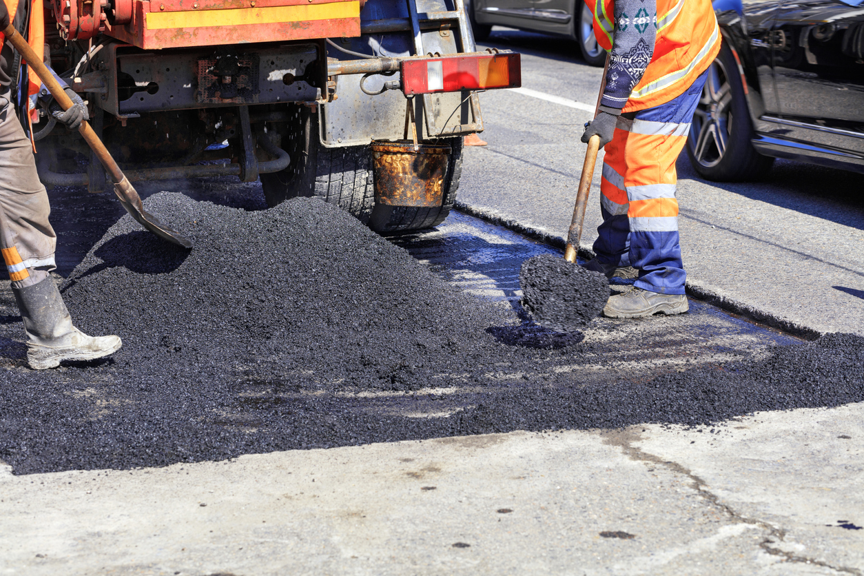
Roadways across the United States are among the most heavily used public assets in the nation. In carrying millions of commercial and private travelers every day, they support commerce and connect communities. That is why predictive pavement maintenance has become increasingly important, as deterioration in a single roadway can create ripple effects across traffic, safety, […]
The Ghost in the Machine: Why the Future of Autonomy Is Under the Asphalt

The story of self-driving cars is often told through the lens of software. The story of self-driving cars is often told through the lens of software. Technology magazines discuss faster perception models, improved decision logic, and more capable onboard systems. Progress is often measured by what happens inside the vehicle. Yet deployment of autonomous technology […]
From Field Crews to Fleet Data: Rethinking Roadway Inspections for 2026 and Beyond

Across the United States, transportation agencies are responsible for millions of miles of public roadways. Maintaining these networks is expensive, and a substantial portion of the maintenance budget is allocated to gathering condition survey data. Traditional roadway inspection methods rely heavily on manual fieldwork by trained crews and specialized vehicles. These methods are labor-intensive, costly, […]
How Hawai‘i Is Modernizing Road Maintenance With AI: Inside The AI Effort Helping Hawai‘i Stay on the Move
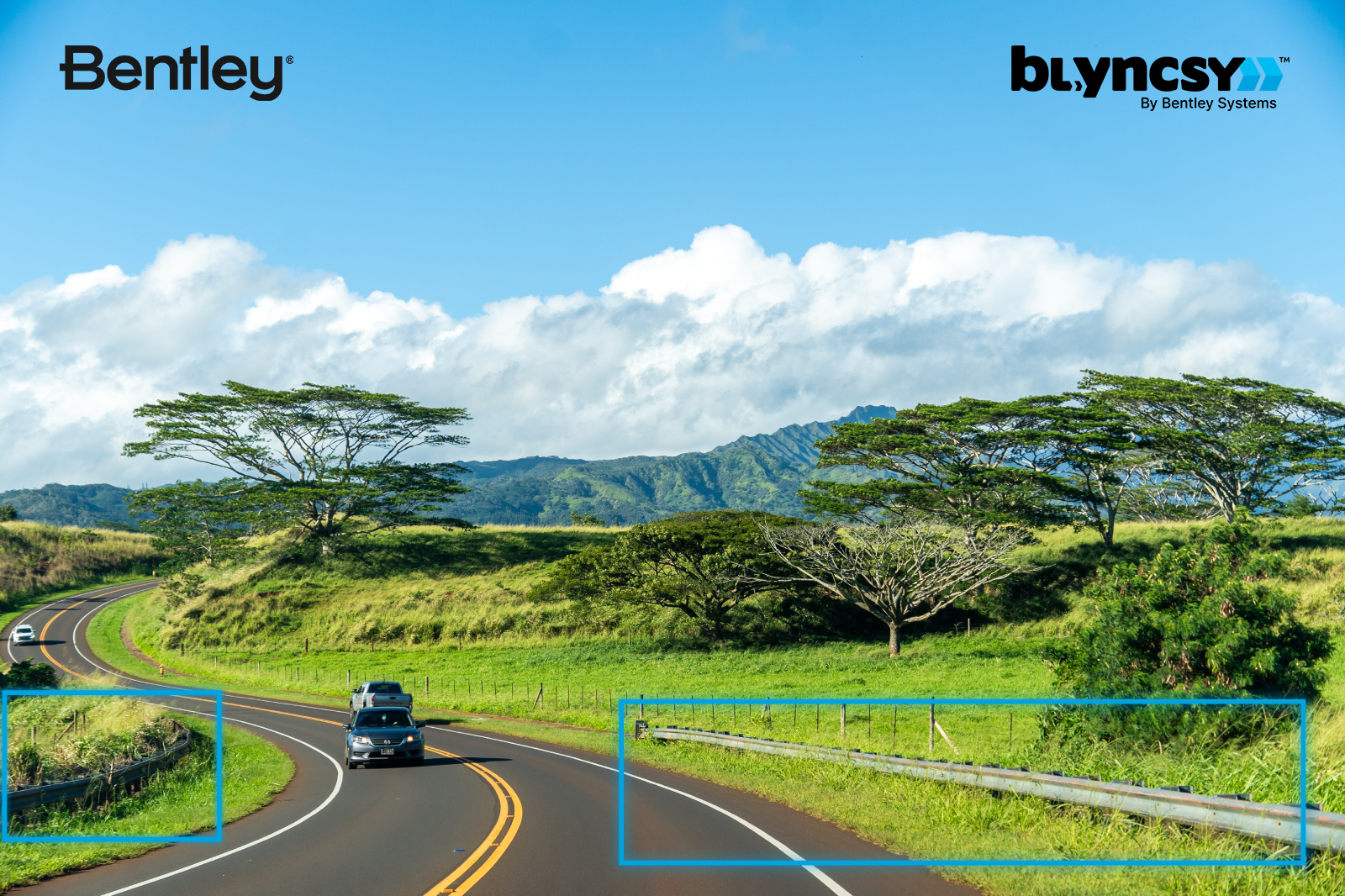
Hawai‘i is so rich in natural beauty that in parts of the world its name is shorthand for paradise. But exploring that paradise depends on something far more prosaic: roads. Maintaining them is anything but easy. Sun, salty air, torrential rain, lush vegetation, and even volcanic activity take a relentless toll on roads and highways […]
The Case for a Mobile Sensor Network: Seeing More While Spending Less

Across the country, state and local transportation agencies face a similar dilemma. This is how to keep roads in good repair when inspection budgets haven’t kept pace with need and aging infrastructure. The traditional model of sending inspectors or contractors into the field to manually assess assets like pavement, signs, and roadway markings is time-consuming, […]
A Pothole’s Life Cycle: Forecasting the Future to Preserve the Present
Across the country, pothole lifecycle management is becoming a growing concern as roadways are constantly under pressure. Traffic, weather, and age can do significant damage over time. Potholes are visible signs of deeper pavement damage. For transportation agencies, the challenge goes far beyond repairing potholes. Instead, it’s about understanding how they form, tracking their progression, […]
From Reactive to Predictive: The Game-Changing Potential of Digital Twins for Road Networks

Across the country, transportation agencies tend to manage roads by responding to visible failures. Crews patch potholes when they appear, or a work order is filed when a sign goes missing. That reactive approach keeps networks functional in the short term, but it costs more over time and has the potential to become a significant […]
AI-Powered Imagery Intelligence: Unlock IIJA Funding Faster

AI-powered imagery intelligence is becoming central to how agencies plan and scope transportation projects, a shift that comes at a critical moment. In July 2025, the U.S. Government Accountability Office (GAO) reported that only 59% of Infrastructure Investment and Jobs Act (IIJA) funds had been obligated by the Department of Transportation (DOT) as of April. […]
AI for Infrastructure Equity: Bridge the Data Divide Now

Across the United States, local and state transportation agencies are under pressure to maintain their aging infrastructure while also advancing equity goals set at the federal level. The core challenge: the data used to guide their investment is woefully uneven. This is where AI for infrastructure equity comes in, offering agencies a path to balance […]

