A summary of the recent webinar exploring the shift from manual, reactive road inspections to proactive, AI-driven asset management for local governments.
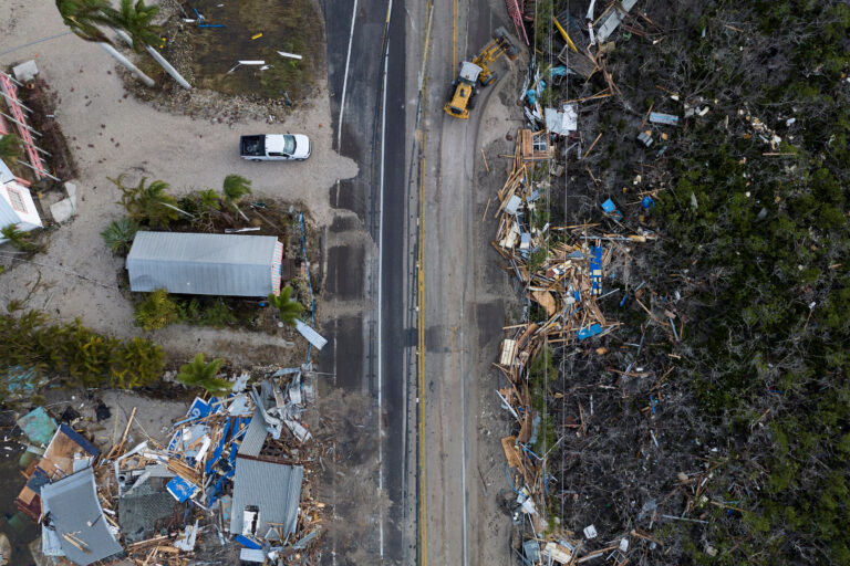
Local governments face a daunting, universal challenge: managing vast, aging road networks with limited budgets and shrinking staff. The traditional methods of monitoring infrastructure—relying on citizen complaints or sending inspectors out with clipboards once every few years—are no longer sustainable.
In the recent webinar, “Roads That Report — The Future of Local Government Infrastructure Monitoring,” industry experts explored a groundbreaking shift in how municipalities can tackle this crisis. The consensus? The future isn’t about buying more expensive specialized vehicles; it’s about equipping the vehicles you already have with smarter technology.
Here is a summary of the key concepts and takeaways from the session.
The Crisis of the Status Quo
The webinar began by outlining the systemic failures of traditional infrastructure monitoring. Currently, most cities operate in a purely reactive mode. They fix potholes only after they have caused damage, and they replace signs only after they have fallen down.
This “run-to-failure” model is incredibly expensive. Relying on manual inspections means data is often years out of date before it’s even analyzed. Furthermore, the current labor shortage means many Public Works departments simply do not have the “boots on the ground” required to audit thousands of lane miles.
Key Webinar Takeaway: “We cannot hope to manage 21st-century infrastructure challenges using 20th-century manual inspection methods. The gap between budget realities and maintenance needs is growing too fast.”
The Solution: Passive Data Collection
The core innovation presented in the webinar is the concept of passive data collection.
Rather than deploying dedicated inspection teams, the “Roads That Report” model utilizes a city’s existing fleet—garbage trucks, buses, police cruisers, and street sweepers. By equipping these vehicles with AI-powered dashcams, municipalities can scan their entire road network every single day or week just by performing routine operations.
The drivers don’t need to do anything differently. The technology works in the background, automatically capturing imagery and using Computer Vision (CV) to identify assets and defects, geo-tagging them precisely on a map.
Key Webinar Takeaway: “The brilliance of this approach is that it requires zero additional deployment effort. Your garbage trucks are already driving every street in the city once a week. Why not turn them into data collectors?”
Beyond Potholes: Seeing the Whole Picture
While potholes are the most visible symptom of failing infrastructure, the webinar emphasized that AI monitoring captures a much broader scope of critical data.
Continuous scanning allows a city to build a real-time “digital twin” of its roads. The AI is trained to automatically detect and categorize:
- Pavement Distress: Cracking (longitudinal, alligator), rutting, and potholes.
- Safety Assets: The reflectivity and condition of paint striping and road signs.
- Environmental Hazards: Vegetation blocking visibility, debris in the road, or blocked drainage infrastructure.
From Reactive to Proactive Management
The ultimate goal of collecting this data is to change how decisions are made. The shift from intermittent, manual data to continuous, AI-driven data allows governments to move from reactive repairs to predictive maintenance.
The speakers highlighted that catching road deterioration early (pavement preservation) is exponentially cheaper than waiting for total failure requiring full reconstruction. By knowing exactly how fast a road is degrading, city managers can prioritize budgets more effectively, ensure regulatory compliance, and provide transparent data to taxpayers and city councils.
Key Webinar Takeaway: “Data is just noise unless it changes behavior. The goal here is to move Public Works departments from a posture of constant emergency response to one of proactive, strategic asset management.”