Your Roadway Insights,
On Demand
Introducing OpenAPI by Blyncsy: The self-service portal for transportation agencies to access powerful AI-powered detections with unparalleled speed and control.
Getting timely roadway data shouldn’t be a slow or rigid process. Blyncsy’s OpenAPI is a revolutionary self-service portal that puts our powerful AI detection technology directly at your fingertips. Get the critical insights you need in just a few clicks and stop waiting to make data-driven decisions.
Key Benefits
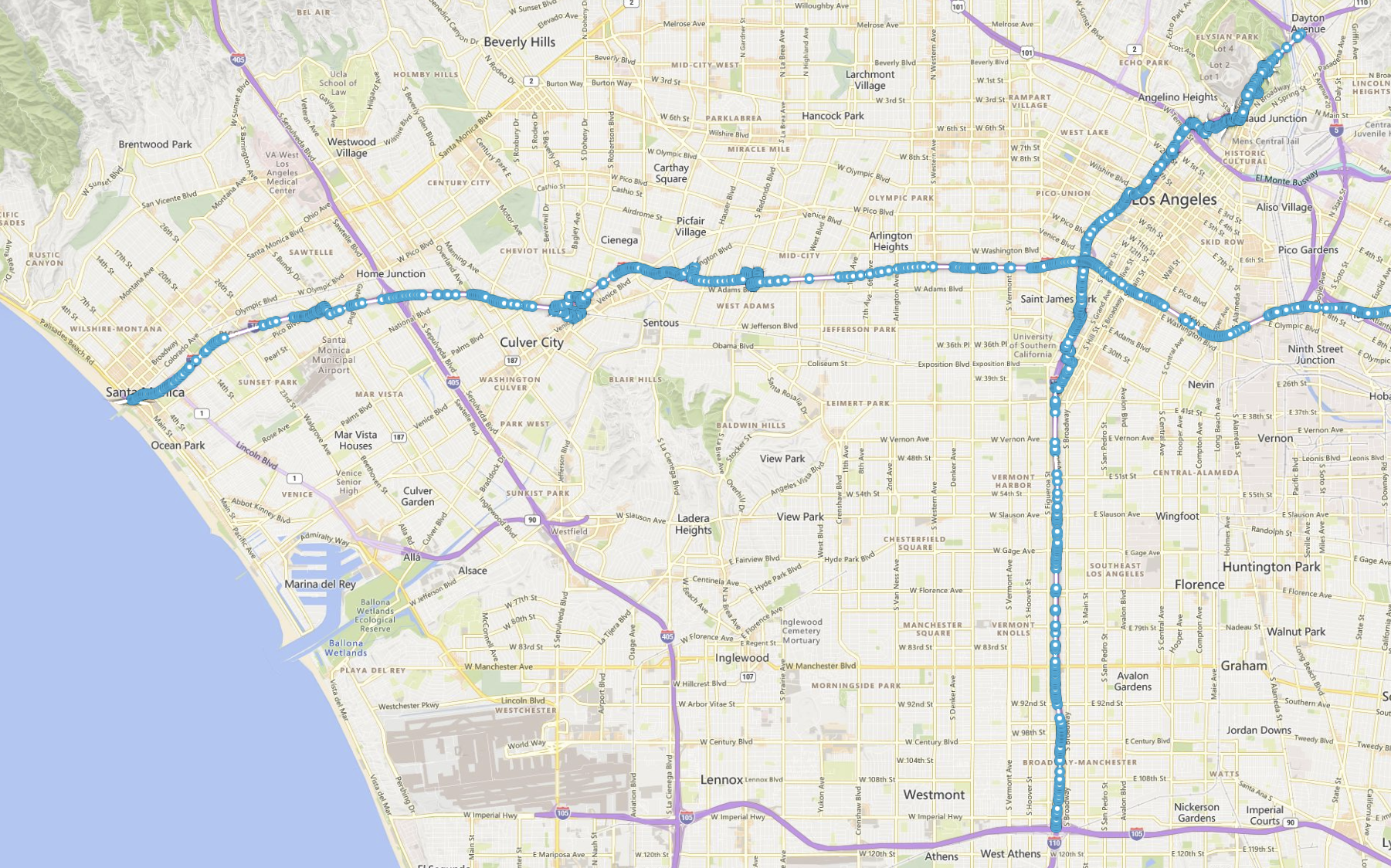
On-Demand Project Control
You are in complete command. Instantly define any project by selecting your specific roads—from a single mile to a full network. Choose from dozens of available AI detections and set your desired inspection frequency to target problem areas or launch new initiatives on your own terms.
From Request to Data in Days
Eliminate the wait. Once your project is confirmed in the portal, our system delivers comprehensive, actionable data directly to you in just 3-5 business days. This allows you to respond to emerging issues and plan maintenance with unparalleled agility.
Data That Fits Your Workflow
Receive insights in the format that best suits your workflow. When your data is ready, you choose the delivery method: a direct download (GeoJSON or CSV), a live WFS/WMS link for your GIS platform, or access via the Blyncsy Payver™ map interface. Your data is delivered ready to use.
How does it work?
- Click “New Line” to add a new line
- Draw your desired collection line on the map as close to the road as possible by zooming in
- Click on an existing point to delete the point
- After drawing your line, click “Snap to Road
- This will match the chosen points to the closest road
- Must be done before adding another line
- If it wasn’t snapped properly, you can “Undo Snap to Road”
- Repeat steps for each desired line
- After drawing your line, click “Snap to Road
- Enter future dates to start collecting and finish collecting images
- Enter the time window of each day for the desired images
- Daytime: Daylight hours based on sunrise and sunset times
- Nighttime: Nighttime hours based on sunrise and sunset times
- Custom: Enter your own time window
- Enter your email to be notified when the collection is complete
- Add road names in Road Information to help our team identify the selected roads
- Submit the request
- After the request is submitted, one of our Bentley colleagues will reach out to verify the collection area within 3 business days to confirm the map before image collection begins.

