CONSTRUCTION BRIEFING
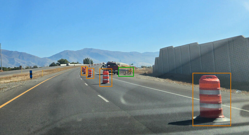
Blyncsy, a Utah, US-based subsidiary of Bentley Systems – a software technology company serving the design, construction and engineering industries – announced it has developed and released (for free) a near real-time digital map, which logs infrastructure assets across the US interstate highway system.
The public map was gathered via a network of dashboard cameras and sensors, with software using the images to input and catalogue items like guardrails, speed limit signs and work zones.
Users can navigate assets via a continental display of the US, or they can access and request data for specific states and regions.