Bridging Field Reality with OpenRoads Designer
How Blyncsy’s Guardrail Linestring Detection integrates with Open Roads Designer
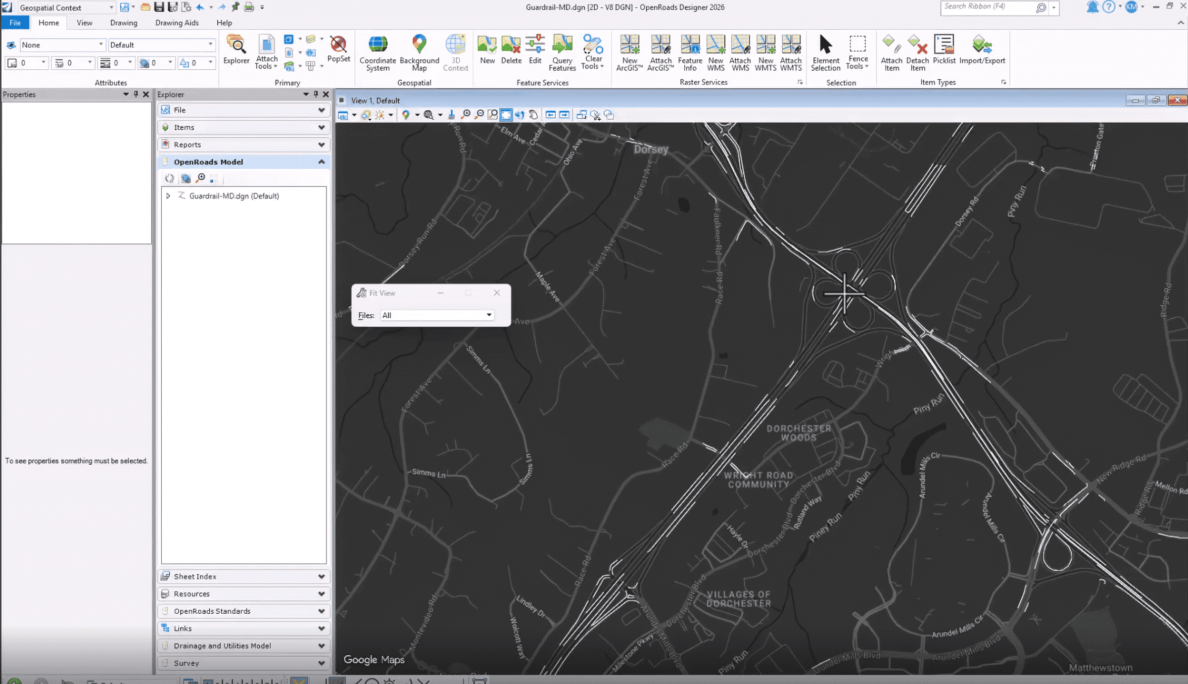
The video highlights the seamless workflow of bringing Blyncsy’s crowdsourced, AI-generated asset data—specifically linear assets like guardrail linestrings—directly into the OpenRoads Designer environment. Traditionally, capturing real-world asset conditions required sending physical survey crews into the field, navigating slow-to-process LiDAR data, or constantly toggling between isolated GIS databases and design software. This new integration allows state and local Departments of Transportation (DOTs) to bypass those manual bottlenecks entirely, converting near real-time telemetry into design-ready CAD elements with a few clicks. By empowering engineers to pull accurate, AI-classified linestrings straight into their active project files, this feature slashes design timelines, eliminates costly survey overhead, and minimizes roadside exposure for DOT personnel. Ultimately, it gives agencies a unified, living source of truth to streamline roadway maintenance, accelerate project delivery, and build highly accurate digital twins.
Why Guardrail Linestrings in ORD are a Game-Changer for DOTs
Pulling Blyncsy’s guardrail data straight into ORD solves a massive headache for highway designers and asset managers:
Instant Design-Ready Geometry: In ORD, modeling guardrails manually or extracting them from point clouds is a meticulous chore. Importing them directly as pre-localized linestrings means designers can instantly assign a Feature Definition. ORD can then auto-populate the correct 2D plan graphics and 3D corridor components over the terrain mesh in seconds.
Zero Boots on the Ground: Guardrails exist to absorb impacts, meaning they are frequently positioned in high-risk zones next to active traffic. Pulling Blyncsy’s crowd-sourced data into CAD allows engineers to virtually inspect, map, and measure existing guardrail assets from the safety of their desks—radically reducing roadside safety hazards for DOT personnel.
Proactive Maintenance and Crash Safety Compliance: Because Blyncsy’s AI is constantly scanning for guardrail and cable barrier damage, having this data inside ORD means designers aren’t just looking at where a guardrail is, but what condition it’s in. They can easily spot structural deficiencies or missing segments and prioritize safety repairs directly within the context of wider roadway widening or rehabilitation projects.
A Single Source of Truth: It eliminates data silos. Instead of design teams working off outdated field logs while maintenance crews use a separate GIS map, both departments can sync their workflows. Designers can plan project tie-ins with perfect real-world context, ensuring that safety compliance standards (like MUTCD and MASH) are met right from the conceptual phase.
The Future of Automated Roadway Maintenance Starts Here.
Ready to spend more of your time and budget on fixing problems, rather than finding them? Request some time with our team and we’ll walk you through how Blyncsy works, what makes us unique, and why so many local and state transportation agencies are turning to our automated AI technology to create a safer, more efficient, and more equitable transportation network.