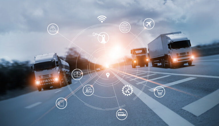
As technology in the public sector continues to proliferate, transportation agencies across the country are looking for new and innovative ways to monitor the roads they’re charged to care for. Monitoring road assets like street signs, street lights, guard rails, and more is as important as auditing road conditions to account for necessary repairs. Technology in road surveying promises new ways to help.
This use of new technologies is driven, at least in part, by a need to conserve resources and build efficiencies. As outlined by the nonpartisan Congressional Budget Offices, transportation agencies across the country faced budget shortfalls during the COVID-19 pandemic, from which they have not been able to fully recover.
Building more effective and efficient operations is certainly a worthwhile goal. Agencies begin to face increasing pressure to maintain safe road networks. The question, then, becomes to understand whether the technologies promising to provide these technologies can deliver.
As we move into a new arena of technology in road surveying, it’s helpful to learn from transportation agencies already using a wide range of systems and techniques to learn what may or may not work. From robots to drones, an examination of the many potential use cases can build a more comprehensive picture of the opportunities that can drive real improvements, and those that may need further development before becoming truly helpful and beneficial.
Use Case 1: A Signage Inventory Robot in Our Nation’s Capital
As reported this year, DDOT (the Washington, D.C. Department of Transportation) is piloting the use of a robot to keep track of road signage and sidewalk conditions. The robot, lovingly named Kiwibot, covers a 1-mile radius to inventory signs. It enables professionals to determine their condition, whether they’re in the right direction, and more.
As of right now, the $10,000 pilot is doing what it is intended. This is to help determine the feasibility of expanding the use of robots for similar purposes across the entire city. There are challenges, of course, which will make that broader implementation difficult.
To start, the robot is comparatively slow, moving at about the speed of a pedestrian. In addition, it still requires manual examination and analysis of all data it collects, while also being susceptible to damage from others feeling infringed upon in their travels. In other words, the technology will likely require significant evolution before becoming feasible for transportation departments across the country.
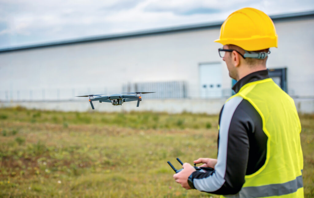
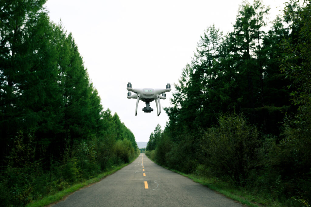
Use Case 2: Inspecting Potholes From an Aerial Vantage Point
If a robot on the sidewalk gets in people’s way, what about taking to the air? That’s exactly what the city of Winchester, VA considered when piloting a drone program to check roads for potholes.
Sure enough, early results are promising. By all accounts, the drone can conduct these checks faster than ground teams and without disrupting regular traffic on the 220 miles of roads within city limits. Early tests were promising. They provide more specific (and quicker) instructions on where they need to repair potholes and other road damage.
Compared to D.C.’s robot program and other technology, though, this drone program comes with its issues. While it increases efficiency compared to manual inspections, it still requires a pilot to fly. The aerial vantage point may make it difficult to identify certain types of potholes. It’s also a system for rural and suburban areas, with drone traffic becoming more difficult in large cities.
Use Case 3: A Military-Style Drone Examining Roads in Ohio
Virginia isn’t the only area in which drones have entered the equation. The Ohio Department of Transportation is using larger, fixed-wing drones to monitor anything. From freeway traffic to inspecting bridges and even sending warnings about potential chemical hazards.
To deploy its new drones, ODOT received special permission from the Federal Aviation Administration to fly them beyond the pilot’s eyesight. The first test is being conducted on a 4-mile span of one of its heavily trafficked areas, promising to provide more consistent and immediate insights.
This type of drone requires immense piloting skills that are not always easily available. Add the significant price tag—$40,000 per drone—and it may not be realistic to implement for some budget-strapped agencies.
Use Case 4: Advanced Data Vehicles to Monitor Road Conditions
Also in Ohio, the Department of Transportation is beginning to use vehicles outfitted with advanced data systems to monitor road conditions. It’s part of a two-year, $700,000 project in partnership with Hondor, the University of Cincinnati, and others to identify potential efficiencies and cost-savings in the long run.
These vehicles, outfitted with Advanced Driver Assistive Systems, collect data about road conditions by driving over them. These include potholes, roadway striping, guardrails, road sign wear, and more. The data is then fed into a web-based dashboard for analysis and corrective action.
Scaling the project once successful, though, remains a concern. The cost for the two-year pilot is immense, and will only increase with an increased scope. At this point, the technology also doesn’t integrate with ODOT’s existing platforms, requiring manual analysis and porting of data into the larger system.
Finding More Effective Technology Solutions in Road Surveying
Despite their potential concerns and scalability issues, technologies like drones and robots are marking a turning point for many transportation agencies. They show the potential of technology in building efficiencies. However, most of them still tend to be expensive to implement and may not yet be future-proof.
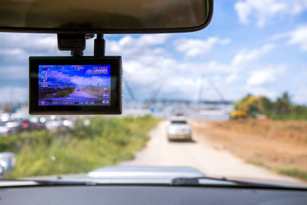
Of course, these are not the only technology opportunities in road surveying available today. Crowdsourced dash camera footage from cars, for example, offers similar solutions without being bound by the limitations of the use cases examined above.
A platform that leverages crowdsourced dash footage is inherently scalable, and designed to cover entire states. Because it taps into existing hardware, the cost tends to be a fraction of some of the methods examined above, with hardware maintenance at zero cost. And of course, it can collect and analyze the data automatically in near real-time. It feeds straight into existing systems without extra human resource investment.
As a result, human teams can redirect their focus to where it should be. Fixing problems instead of looking for them. That builds true efficiency, leveraging technology for significant operational improvements.