Across the country, transportation agencies tend to manage roads by responding to visible failures. Crews patch potholes when they appear, or a work order is filed when a sign goes missing. That reactive approach keeps networks functional in the short term, but it costs more over time and has the potential to become a significant safety risk.
Predictive asset management, on the other hand, changes the equation. It uses a live, data-driven model of the network to spot trouble before it becomes urgent. With the right data feeding digital twins for road networks, the usefulness of this data-driven approach has the potential to become a true game-changer.
What Is a Digital Twin?
A digital twin is a virtual representation of a physical system that mirrors its state in real-time. In other words, it’s a dynamic model that exchanges data with its physical counterpart, which enables monitoring and analysis of the data as well as predictions of potential future states.
For road networks, this twin can include geometry, asset inventories, condition history, and traffic context. Continuous, accurate inputs increase the model’s value, making its outputs more reliable. As the U.S. Federal Highway Administration puts it, a twin becomes useful only when it links inventory, condition, and performance information across the asset lifecycle.
From Reactive to Proactive: The Case for Change
Reactive maintenance costs more than planned upkeep. Predictive maintenance, on the other hand, uses models and historical trends to forecast failures and schedule interventions at a lower cost, lowering the safety risk in the process.
In fact, research on digital twins suggests that implementing this more predictive mechanism consistently leads to earlier intervention, lower lifecycle costs, and fewer emergency repairs. Twin models fed by continuous observations can detect subtle trends that allow them to spot accelerating deterioration and prioritize intervention, where they will prevent more expensive repairs.
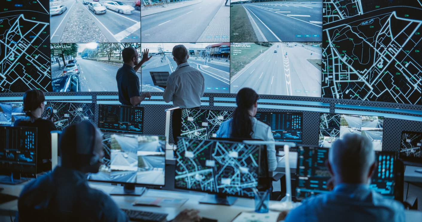
Digital Twins for Road Networks From Street-Level Data
Transportation agencies have long faced a data-gathering problem. When the process is not anecdotal and based on individual reports, it typically includes gathering condition data through scheduled, specialized field surveys. Those surveys are accurate, but tend to be costly and episodic. As a result, they may not be able to provide the type of ongoing, comprehensive data that digital twins require to be effective.
Fortunately, newer sources can lower the price of coverage, increase frequency, and make digital twins a more realistic option for transportation agencies.
Street-level imagery captured from vehicles, dash cameras, and mobile mapping systems, for example, can provide continuous visual coverage of even the most extensive road networks. A computer vision algorithm can extract information like pavement distress, faded markings, missing signs, and other defects from that imagery.
Academic and applied studies have begun to demonstrate the reliability of combining street-view images with deep learning models to detect potential issues at scale. But most importantly, these imagery streams are not limited to specialized survey fleets, enabling more comprehensive coverage. Municipal or commercial vehicles that already travel local streets can collect usable images, creating a continuous record that’s perfect for a digital twin model.
Exploring Modern Data Software for Digital Twin Intelligence
The software used to run digital twin systems is commonly called an infrastructure digital twin platform or asset intelligence system. These platforms integrate geospatial inventory, condition inputs, time series data, and analytics to create a living model of all road assets.
Digital twin for road network platforms can ingest all data, including imagery, sensor feeds, inventory databases, and GIS layers. They then convert images into measurable observations using computer vision models and integrate those observations with asset records and location data.
The combined data, in turn, becomes the digital twin model. The software can run predictions on conditions and deterioration, generating forecasts that allow for prioritization based on risk, costs, and equity outcomes. Fusing continuous condition data with performance models allows the digital twin to turn from a static map into a strategic planning tool.
Why Continuous Imagery Matters for Predictive Maintenance
Imagery adds the temporal solution that many more static twins lack. Pavement cracking begins small and then begins to spread, while faded line markings fade gradually. A single annual survey can miss the onset and trajectory of deterioration. Frequent imagery, on the other hand, captures the curve, which is what predictive models need.
Studies and pilot projects show that image-based condition detection can feed models that accurately predict near-term failures, creating the potential to better inform maintenance cycles. Lower emergency repair rates, in turn, give agencies the ability to plan their crews and materials more efficiently.
Practical Steps for Agencies Looking to Implement Predictive Road Management
Agencies looking to move toward a more predictive management approach can benefit from starting with a narrow pilot scope and scaling up. Some software enables faster scaling without significant resource investment. Use these steps to get started:
- Define your outcomes. Decide whether the priority is safety, cost savings, or equity. Clear outcomes can help to guide your choice of software and model design.
- Pilot the model on a representative network. Use a corridor or subset that includes urban and rural conditions, if possible. The pilot can help to reveal data gaps and other potential hurdles.
- Choose your data sources carefully. Combine periodic surveys with continuous imagery and installed sensors.
- Build data governance. Assign ownership, set update intervals, and define quality checks.
- Connect your twin to operations. Build a system that enables the data insights from the digital twin to translate to achievable work orders and budget requests.
The FHWA offers a pragmatic framework for integrating digital as-builts and twins into transportation agency workflows. As those resources underscore, the technical tools must connect to your existing asset management systems and procurement processes.
Optimizing Digital Twins for Road Networks Through Blyncsy
Digital twins change how agencies plan and spend their budgets. They let managers test options in the model before committing crews while giving grant writers evidence to justify requests.
While software in the space is still evolving, Blyncsy offers a continuous stream of imagery intelligence and automated detection that can feed a road network twin. That stream, in turn, supplies the observations that the twin model needs to move from static to dynamic. For agencies that want to reduce emergency work and prioritize preventative intervention, that data stream is the essential input.