
AI-powered imagery intelligence is becoming central to how agencies plan and scope transportation projects, a shift that comes at a critical moment. In July 2025, the U.S. Government Accountability Office (GAO) reported that only 59% of Infrastructure Investment and Jobs Act (IIJA) funds had been obligated by the Department of Transportation (DOT) as of April. That leaves nearly $200 billion sitting idle, largely due to administrative bottlenecks that have prevented even areas with high needs from getting the necessary funds for infrastructure repairs and replacements.
Across the country, agencies struggle to define project scopes, finalize budgets, and meet federal requirements in time to secure funding before crucial deadlines pass.
The potential missed opportunity is significant. Improvements of roads, bridges, and transit systems that millions rely on are due, and often overdue. With some IIJA programs facing statutory deadlines as early as September 30, 2025, the urgency is real.
The Planning Bottleneck
According to GAO’s survey of 316 discretionary grant awardees for IIJA, nearly a quarter had not signed grant agreements by early 2025—more than three years after the initial law passed. The reasons were consistent:
- Difficulty defining project budgets and schedules
- Inflation-driven cost increases
- Environmental reviews
- Compliance with Build America, Buy America requirements
These challenges tend to be interrelated and often compound delays. Without a signed agreement, funds cannot be obligated and risk getting lost.
In fairness, the DOT has acknowledged these issues. Yet, it has not fully assessed the risks across its portfolio of grant programs. In the meantime, agencies are left navigating complex planning requirements with limited data and constrained timelines.
Scope Definition at the Core of the Bottleneck
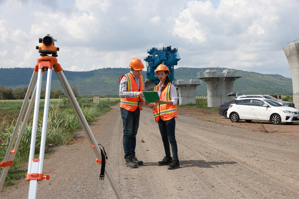
Project scoping is the foundation of every transportation grant application. It defines what will be built, where, how much it will cost, and how long it will take. Unfortunately, that scoping process is often slowed by outdated asset inventories, fragmented data sources, and manual inspection processes that are needed but cumbersome.
Agencies may not have current information on pavement conditions, signage, guardrails, or vegetation, all of which affect cost and compliance. This lack of clarity leads to conservative estimates and, too often, incomplete applications missing components like environmental reviews. It also makes it more difficult to meet federal requirements for cost-effectiveness and climate resilience.
The integration of AI-powered imagery intelligence helps fill these information gaps, allowing for faster, more reliable scoping.
AI-Powered Imagery Intelligence in Action
Recent advances in AI and machine vision offer a potential way out of these common bottlenecks. Agencies can now access real-time data on asset conditions by analyzing roadway imagery collected from commercial fleets, dashcam footage, and other mobile sources. These systems use trained models to detect potholes, faded striping, missing signage, damaged guardrails, and other maintenance needs, all geotagged and timestamped.
This data, in turn, can be delivered in formats compatible with GIS platforms, asset management systems, and even grant application templates. Agencies can select specific corridors, define scope based on actual conditions, and generate more realistic cost estimates. Planning becomes faster and more accurate, increasing the chance of funding.
Best of all, these systems don’t require field crews or specialized vehicles like traditional inspection methods. Instead, they collect data from vehicles on their normal routes. That creates a more scalable and repeatable approach, significantly saving time and cost, especially for agencies with limited resources.
Real-World Applications of AI-Powered Imagery Intelligence
Agencies nationwide are already leveraging AI-powered project scoping, reporting measurable time savings in project planning and scoping. For example:
- A mid-sized city was able to assess 300 miles of roadway in under a week, identifying over 2,000 actionable roadway maintenance issues.
- A state DOT used imagery data to validate pavement conditions for a federal grant application, reducing the time required for environmental review prep by 40%.
- A regional transportation authority integrated imagery intelligence into its asset management system, enabling automated updates to maintenance schedules and budget forecasts.
These outcomes reflect a broader shift toward data-driven infrastructure planning. As they become more common, they will align closely with the U.S. Department of Transportation’s strategic priorities of transformation and efficiency.
Global Relevance, Local Impact
While the IIJA is a U.S. initiative, the challenges it highlights are global. Governments around the world face similar issues, from aging infrastructure to complex planning requirements. In Europe, Australia, and Asia, agencies are exploring similar technologies to streamline maintenance and accelerate investment.
For example, the European Commission’s TEN-T program emphasizes digital tools for infrastructure monitoring. Meanwhile, Australia’s Infrastructure Investment Program encourages data-driven planning to improve delivery. Better data leads to better infrastructure, which is where AI-powered imagery solutions can help.

Meeting Federal Requirements With Confidence
Federal grant programs like IIJA increasingly require applicants to demonstrate their readiness to build, the cost-effectiveness of projects, and alignment with broader national goals. Those national goals tend to revolve around three tenets:
- Equity: identifying underserved areas and ensuring fair distribution of resources
- Climate resilience: Prioritizing projects that reduce emissions or improve sustainability
- Safety: Addressing high-risk corridors and known hazards with the highest priority
AI-powered imagery intelligence can support all of these goals. Providing granular, location-specific data helps agencies make more informed decisions and build stronger cases for funding. It also enables performance tracking over time, essential for compliance and reporting.
A Scalable Solution for Agencies of All Sizes
From small municipalities to state-wide DOTs, the need for fast and more accurate scoping is near universal. AI-powered imagery intelligence can help agencies achieve that goal. Requesting data for an entire network is as simple as requesting data for a single corridor, with results delivered in days and findings easily integrated into larger planning workflows.
The AI-based approach reduces reliance on manual inspections, improves cost forecasting, and ultimately accelerates grant readiness. Finally, its ability to support repeat assessment with consistent data enables agencies to track changes over time and validate the impact of their investment.

Unlocking the Full Potential of IIJA
Since it passed in 2021, the IIJA has presented an opportunity to modernize America’s transportation infrastructure. However, funding alone is not enough, and too many agencies lack the tools to help them plan, submit, and carry out their related grants.
AI-powered imagery intelligence can help, allowing agencies to plan better and with greater confidence. Streamlined project scoping helps agencies overcome administrative hurdles and meet federal deadlines, ultimately unlocking their funding.
Blyncsy Leads the Way in AI-Powered Imagery Intelligence
With a platform built to deliver roadway data at scale, Blyncsy equips transportation leaders with the insights they need to act quickly and effectively. From dense urban networks to rural corridors, agencies of every size can accelerate project delivery, secure funding, and achieve real community impact. Request a demo today to learn more.